After living in South East Ohio for a little over 6 years we finally decided t0 check out the hiking trails located near Miami University in Oxford, Ohio. Encompassing over 1000 acres and 17 miles of hiking trails the Miami University Natural Areas are comprised of 7 natural areas including, Silvoor Biological Sanctuary, Bachelor Wildlife and Game Reserve, College Woods, Rhinehart Reserve, Kramer Woods, 4 Mile Creek, Western Woods and the Beck Reserve. This past weekend we took advantage of the beautiful March day and headed out to Oxford to check out the Bachelor and Kramer Preserves.
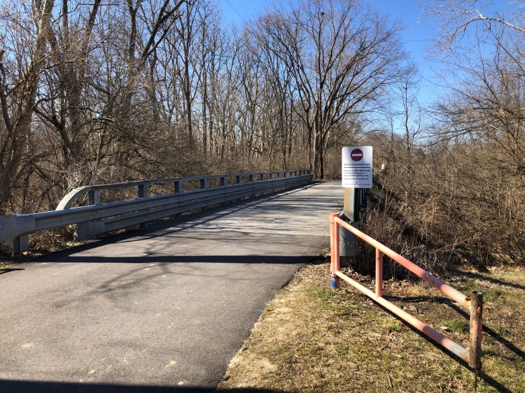
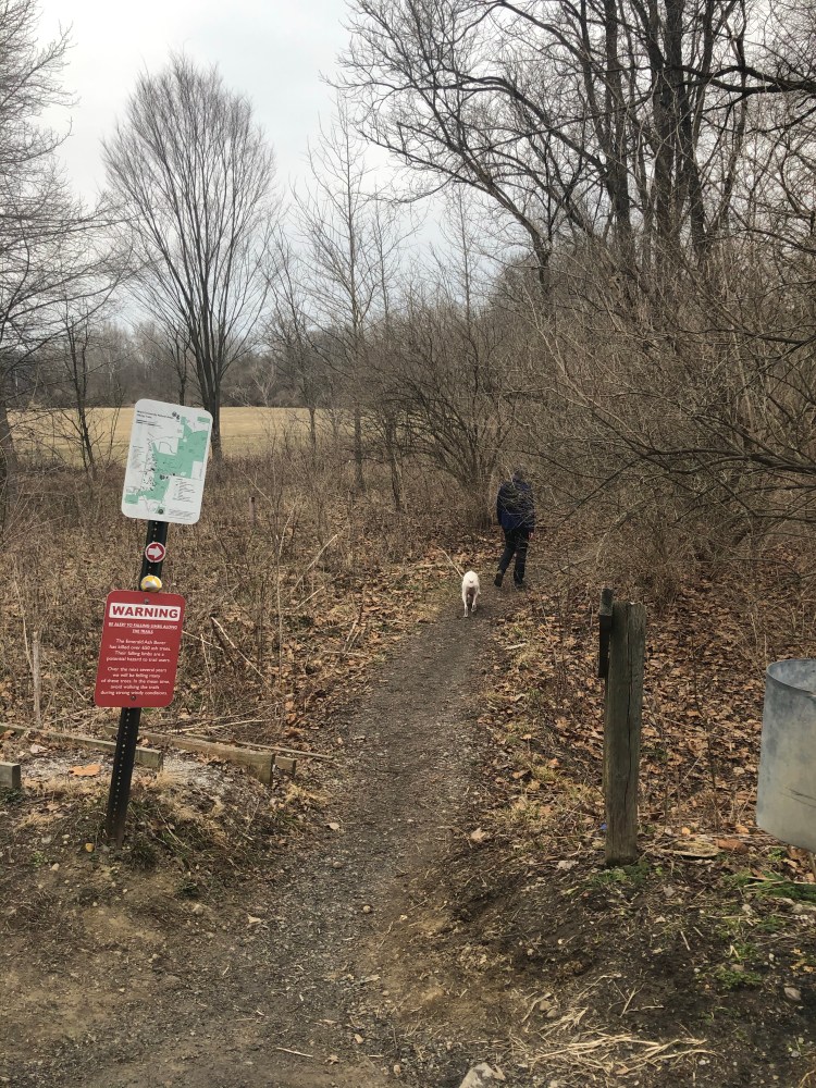
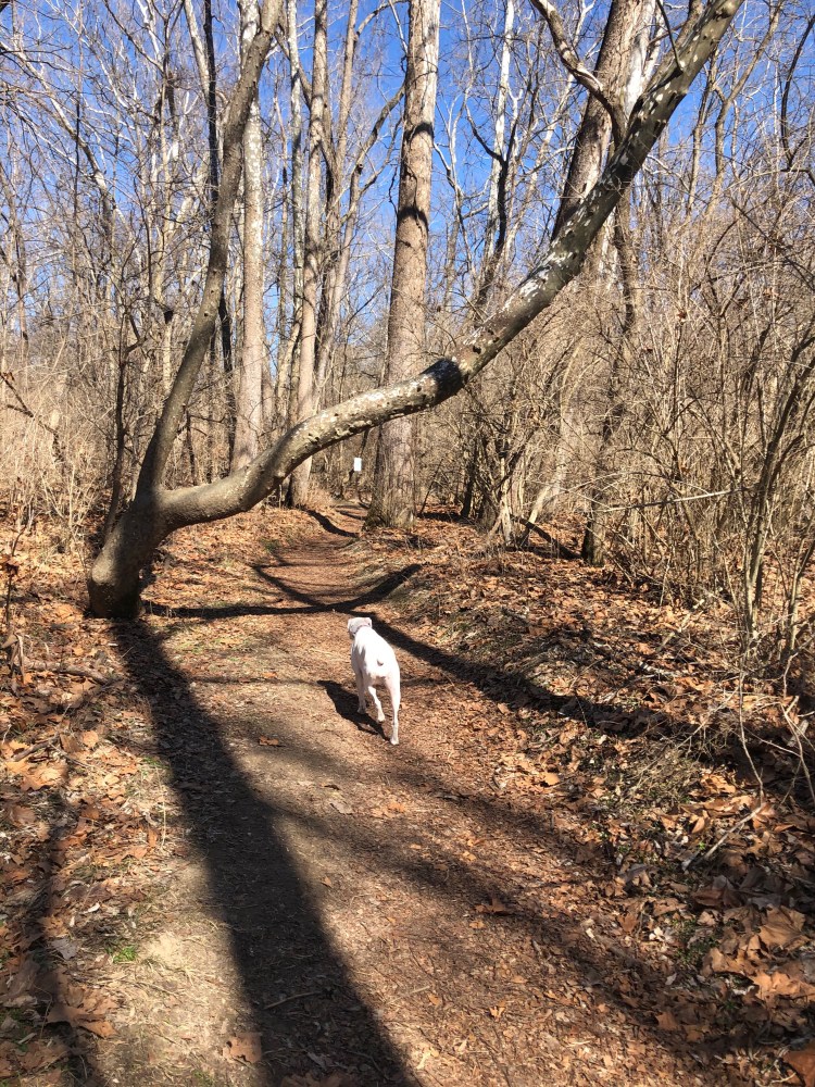
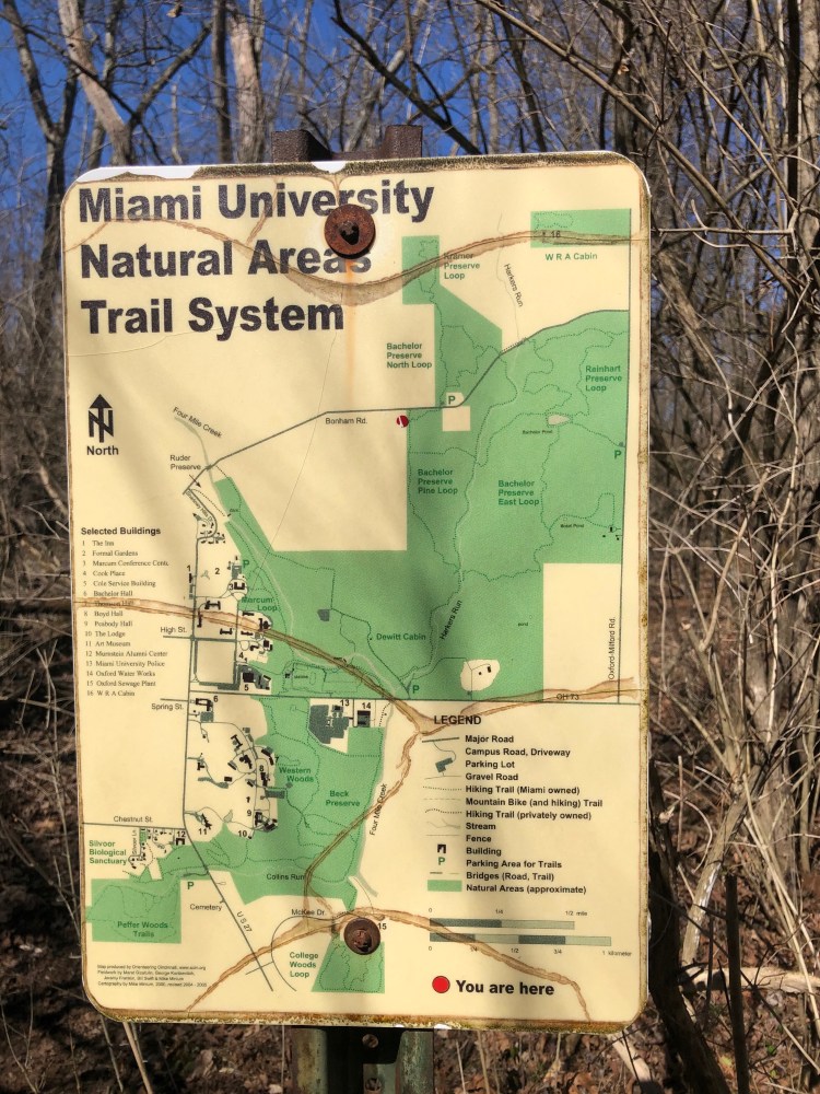
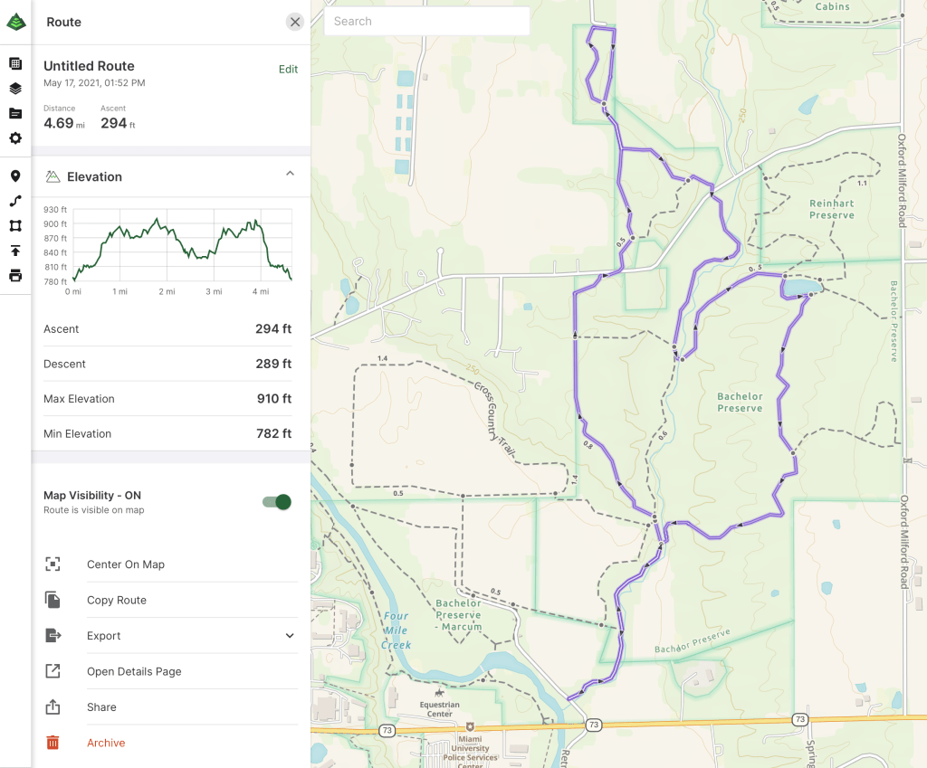
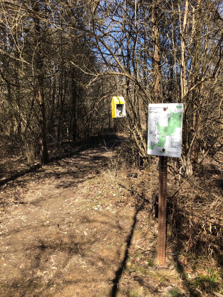
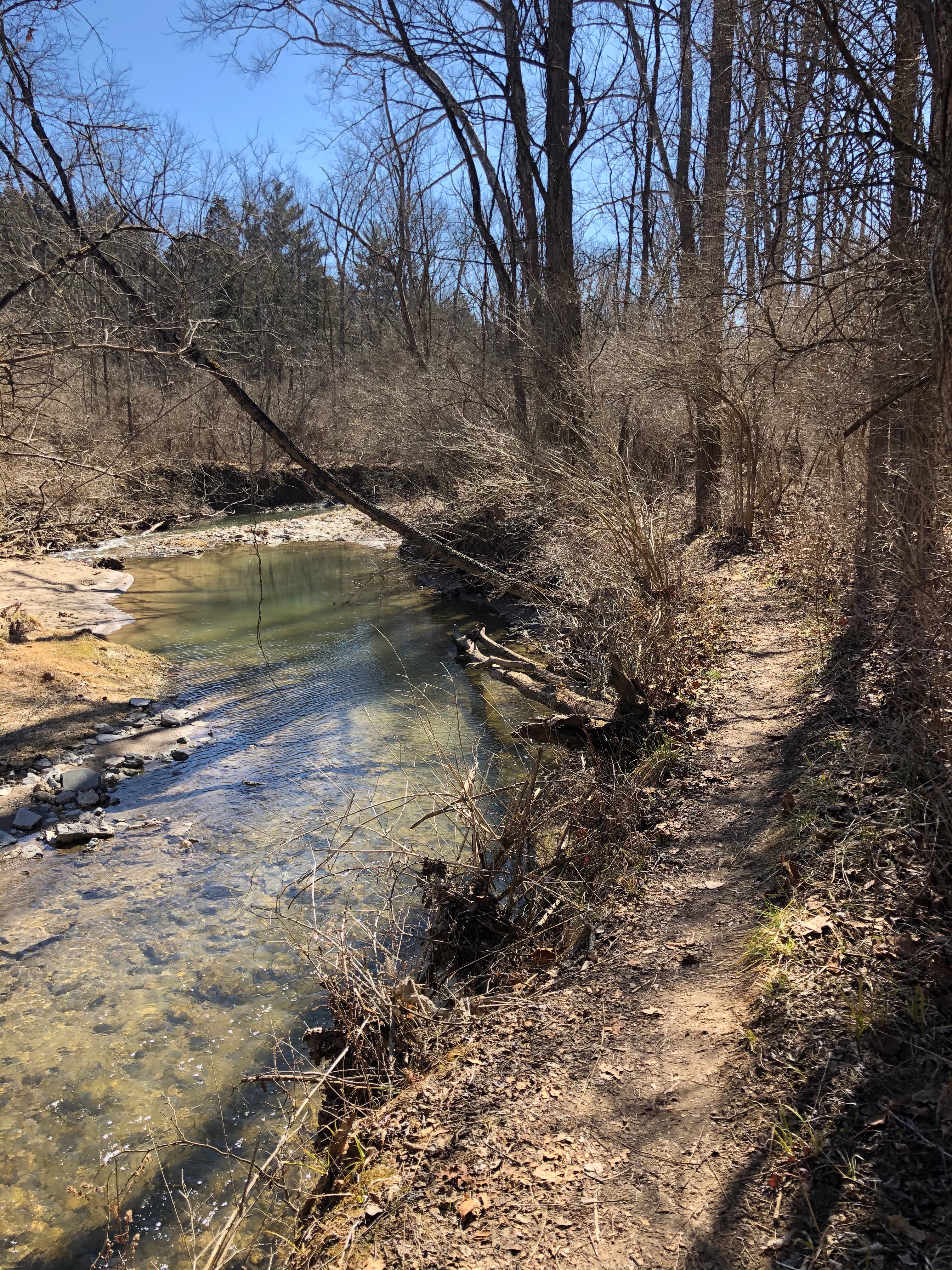
Spanning over 400 acres the Bachelor Preserve consists of three trails, the North Loop, the Pine Loop, and the Eastern Loop. Although there are many ways to access the trails within these preserves we parked at the Dewitt Cabin Parking area, off Oxford Trenton Rd. The trails in this system are very easy to follow with maps of the area and a ‘you are here’ notation at every junction. Our plan for the day was to follow the western perimeter of the Bachelor Pine and North Loop towards the Kramer Preserve and then finishes the day in the Eastern Loop. We found the start of the trail after crossing the concrete bridge, from here the trail follows along Harker Run creek for about 1 kilometer before coming to the first of many junctions. At this junction hikers can head east across Harkers Run creek towards the Eastern Loop or continue north into the Pine Loop. We continued north and within 800 feet came to the 2nd junction as the trail comes to the head of the Pine Loop trail. We stayed to the left continuing towards the North Loop on our way to Kramer Preserve.

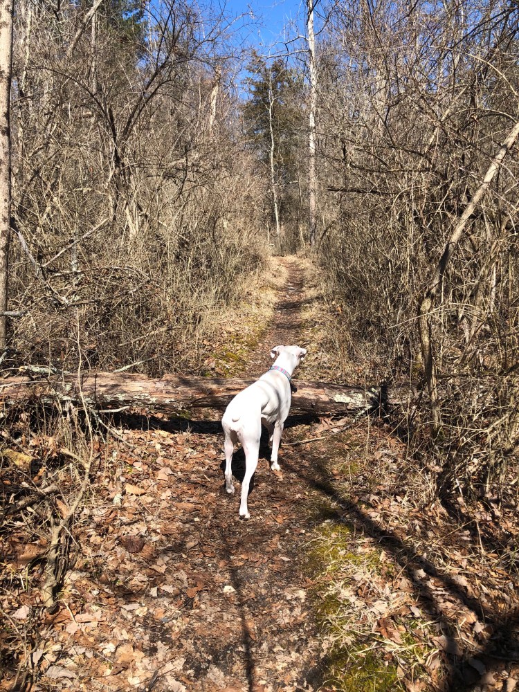
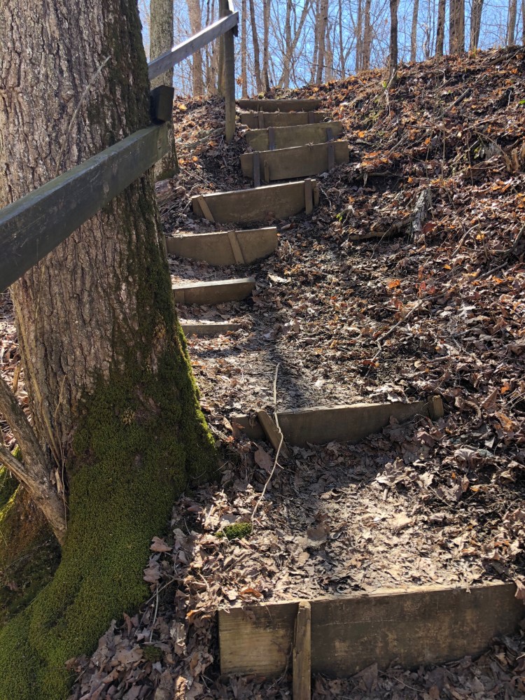
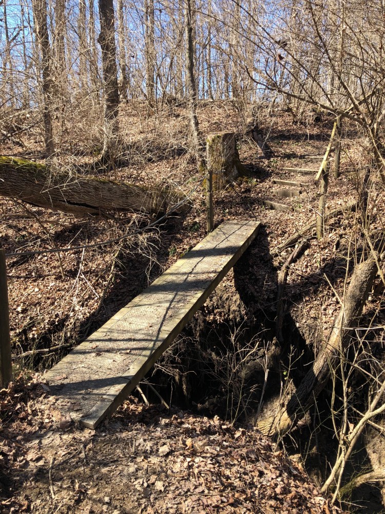
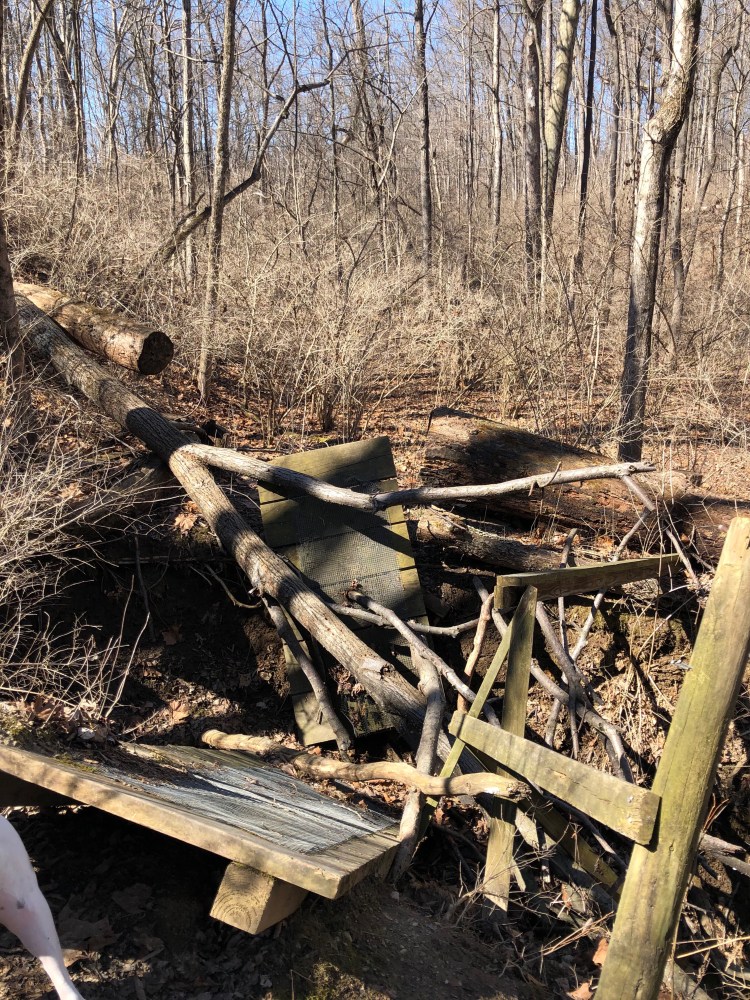
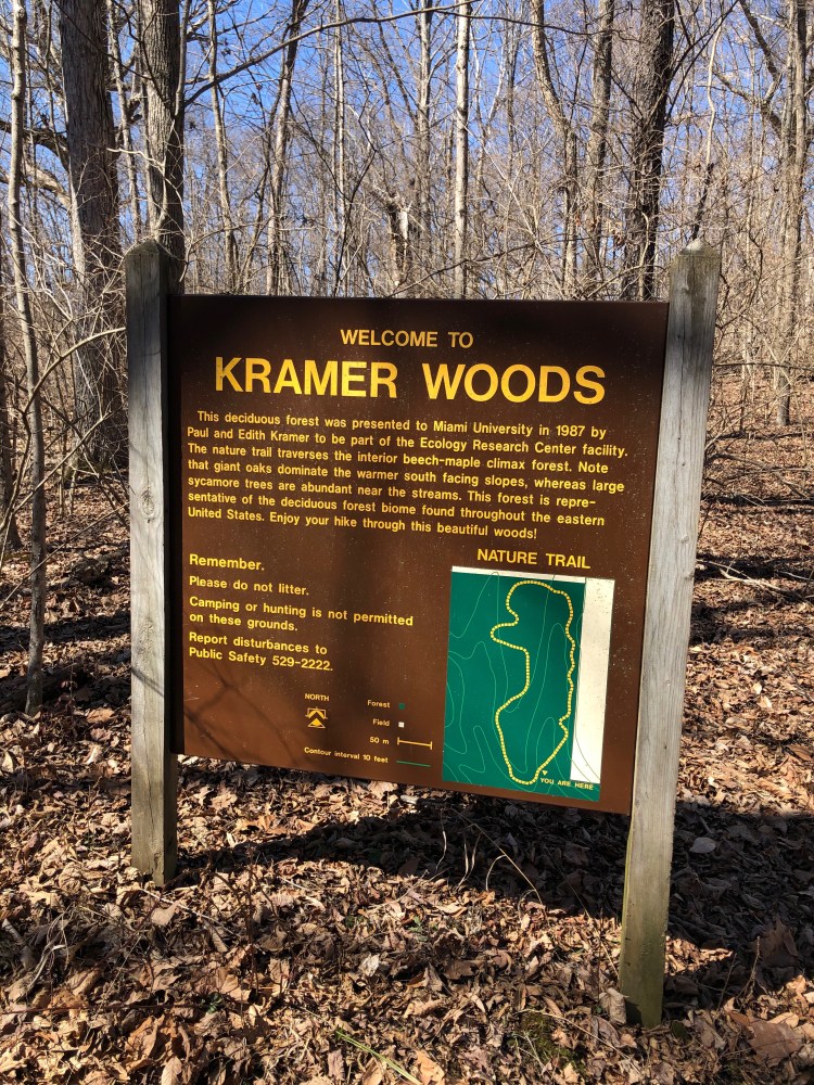
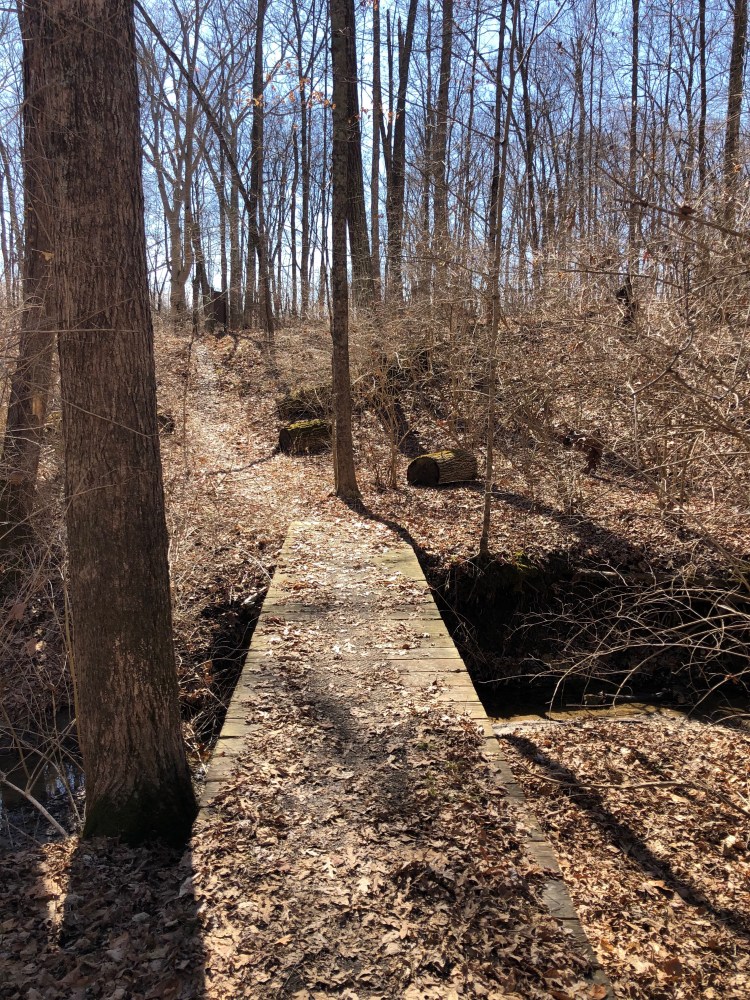
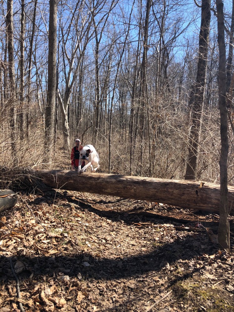
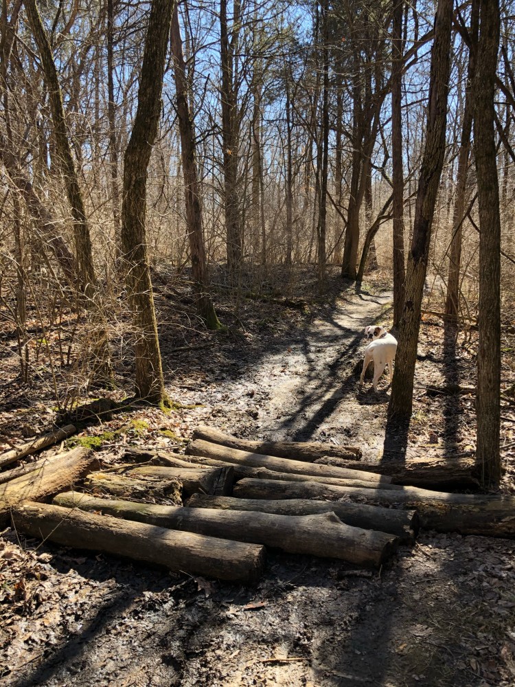
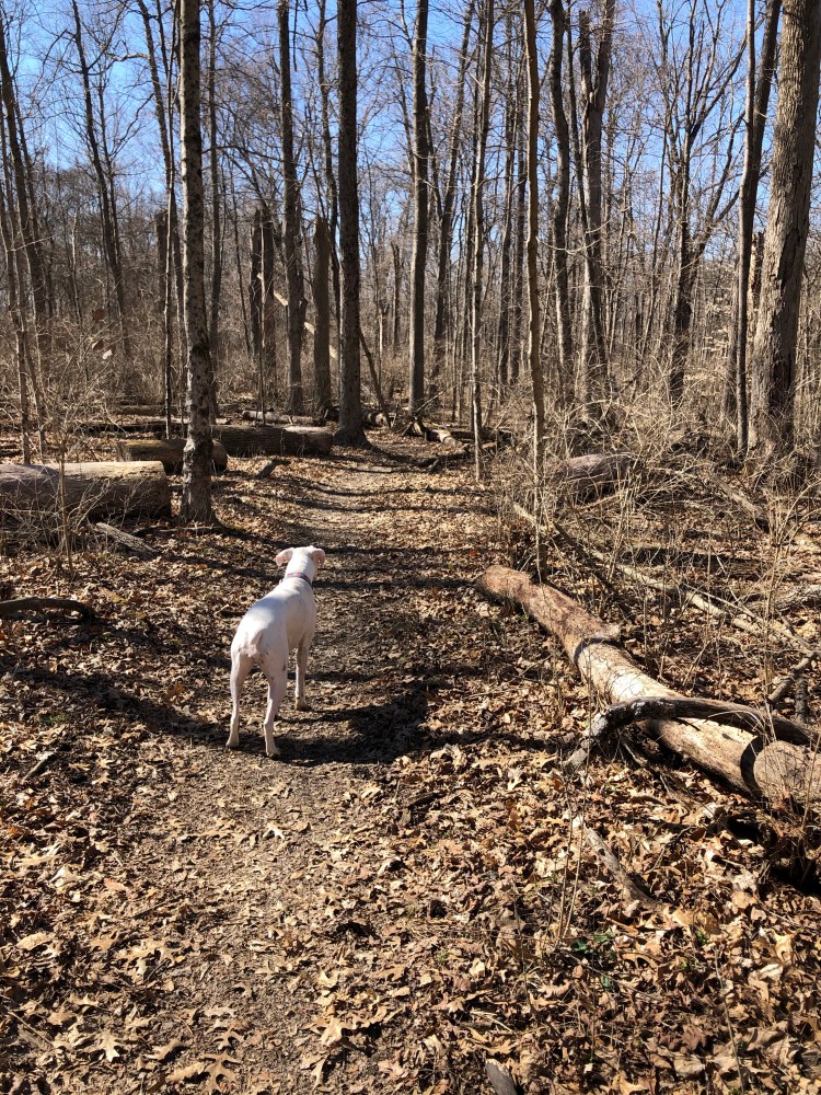
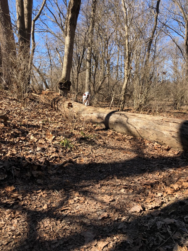
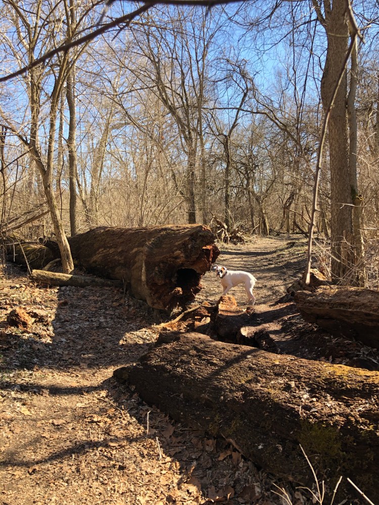
The trail is mostly flat through the Pine Loop but starts to become hilly the closer it gets to the Kramer Preserve. Due to recent rainfall parts of the trail were quite muddy. I actually fell pretty hard going down a hill that was extremely slippery from the mud. Luckily the only thing I hurt was my butt which I landed on. After hiking for a mile and a half we come to the Kramer Preserve junction. Since this is a loop hikers can choose to go either route at the junction, we choose the eastern route. As the trail descends into forest we come to a collapsed bridge. We could easily see the trail on the other side of the creek but had to take a few minutes to evaluate the easiest way to get down the muddy hillside and across the creek. Once back on the trail we followed the half mile loop through the mature wood-lot.
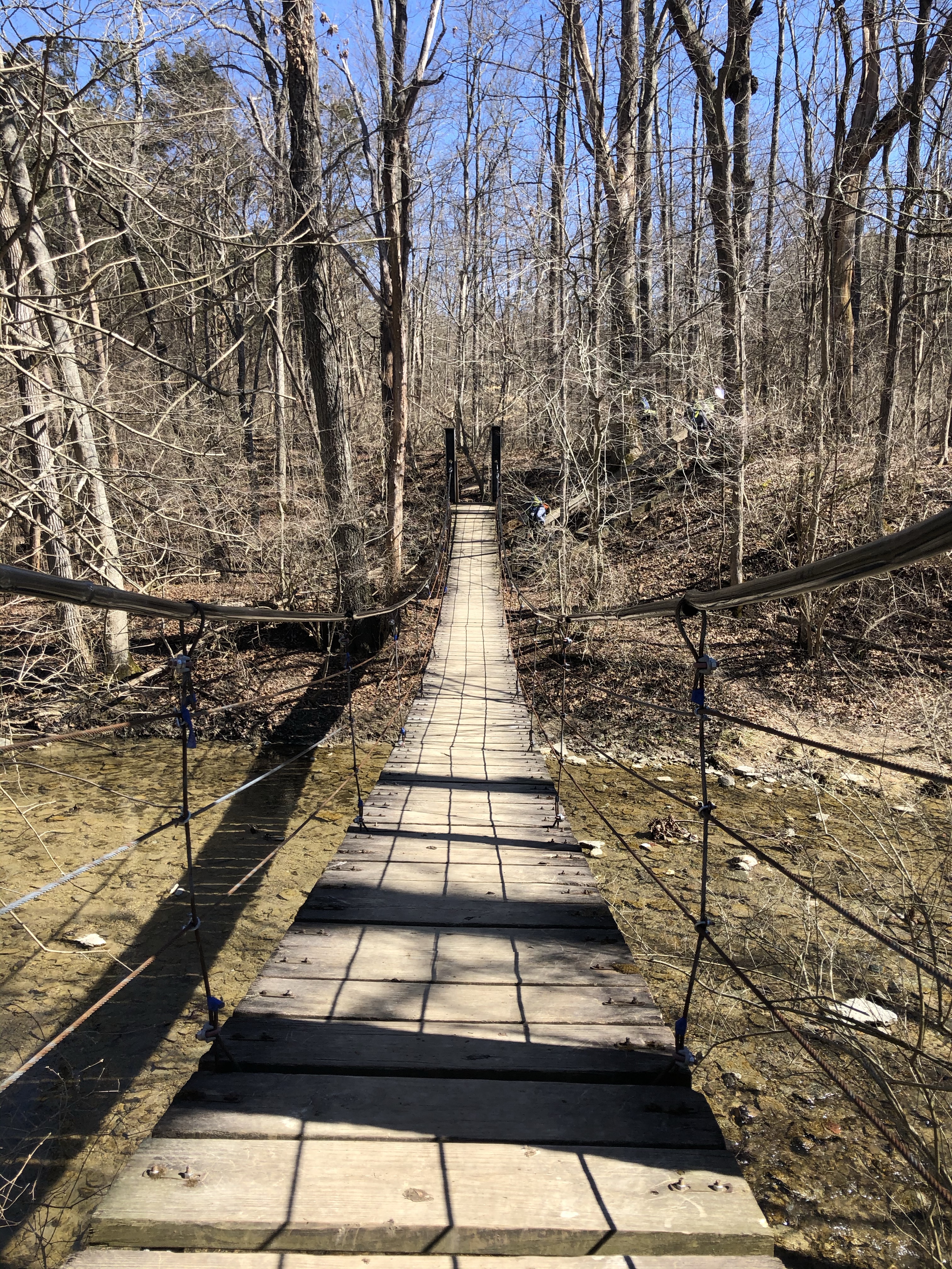
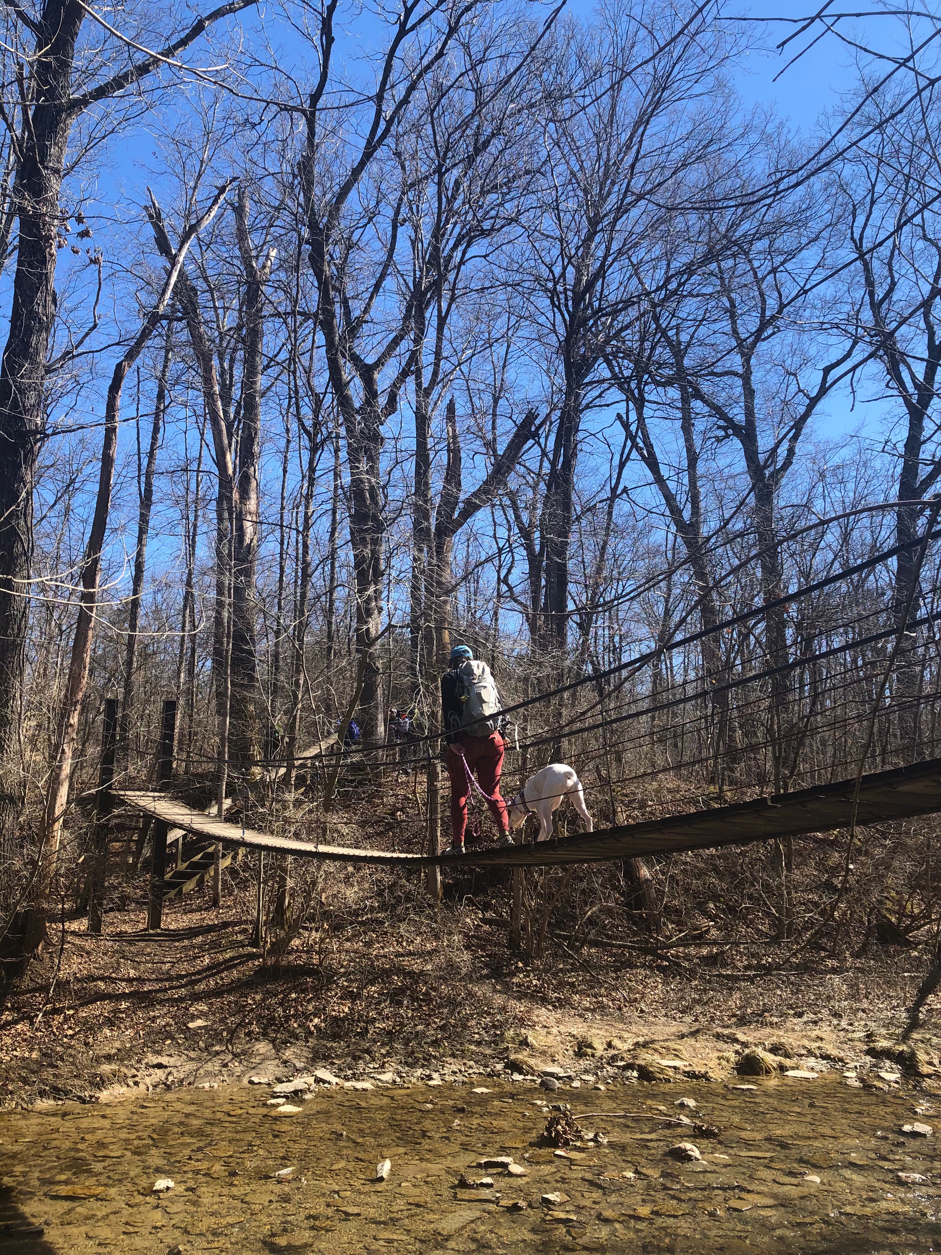
After leaving Kramer Preserve the trail heads back towards the Bachelor Preserve. Within a tenth of mile the trail meets up with the northwest junction of the North Loop. We turned left heading east along the top section of the North Loop and it wasn’t long before we came to the northeast junction of the North Loop. To get to the Eastern Loop we continued east, crossing Bonham Rd where the trail starts heading south as it meets back up with Harkers Run creek. As we approach the 3.5 mile mark we come to the junction of the Eastern Loop. We head across Harkers Run creek via the suspension bridge making our way into the Eastern Loop.
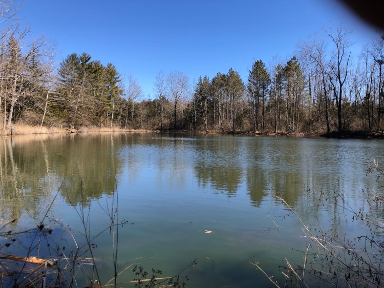
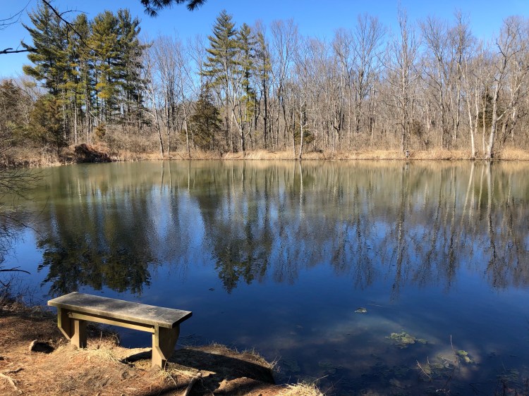
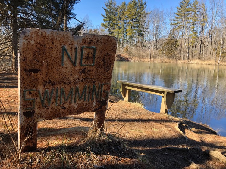
After crossing the bridge we continue northeast ascending up the well worn muddy trail. We make our way toward Bachelor Pond which is only 1 kilometer from the suspension bridge. As we approach Bachelor Pond we come to the Rhinehart Preserve Loop junction, we take a right heading south around the pond. According to www.users.miamioh.edu Bachelor Pond was a well known skinny dipping spot for students back in the sixties. The No Swimming signs that line the banks of the pond date back to this period when the pond was considered a health hazard.
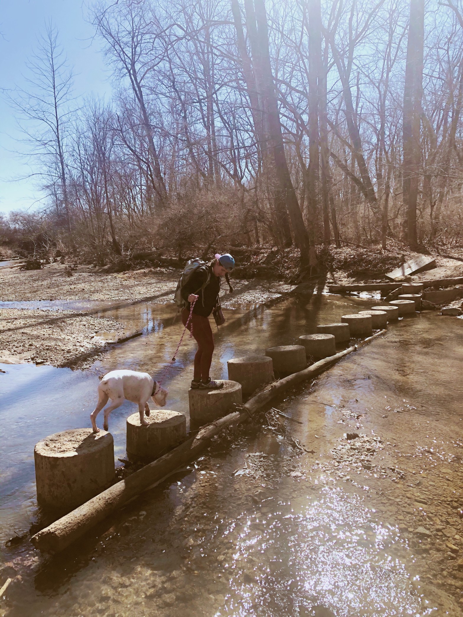
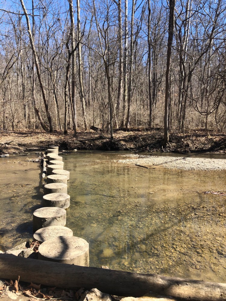
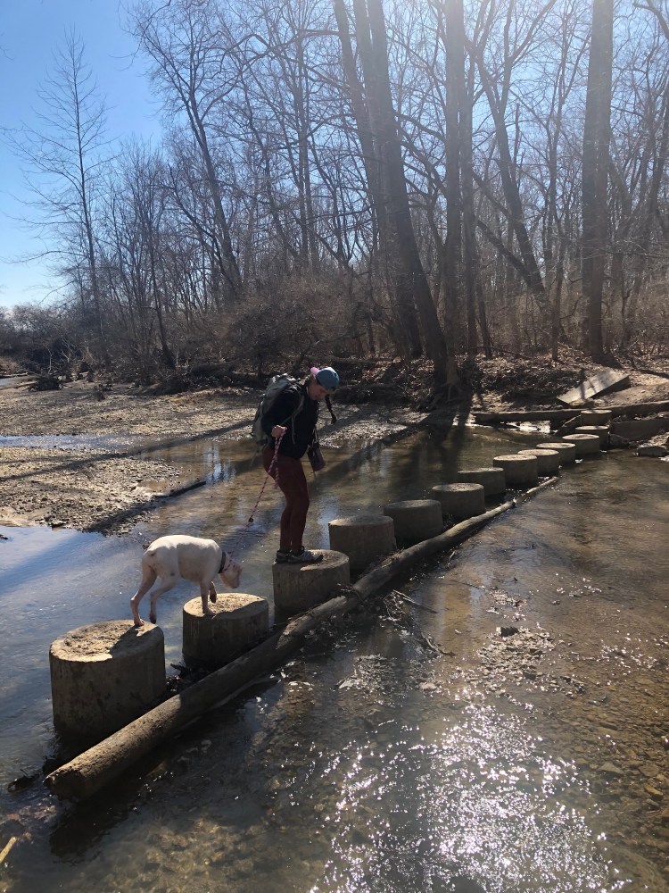
We come upon the next junction on the south side of Bachelor Pond. We head south on the Eastern Loop making our way back towards Harkers Run creek. The Eastern Loop takes you through several different types of forest. After leaving the pond we pass a section of redbud trees and cross into an area monopolized by red cedar and honeysuckle. The trail crosses a foot bridge and then intersects with a trail to Boesel Pond. We continued south on the Eastern Loop heading into upland forest of white and red oak, sugar maple, American beech, ash, black cherry and shagbark hickory trees. The trail through this forest is quiet and has an open feel to it. At 4.75 miles we meet back up with Harkers Run creek and cross via the concrete pillars.
The last half mile of the hike we retrace our steps following the trail along Harkers Run creek back towards the trail head. All Trails rates this hike as moderate, although we didn’t follow the exact same route I would rate this hike as easy. These trails would be a good place for kids and anyone new to hiking. Also with so many different routes it would be easy to accumulate miles within this system so I am not surprised at the the number of trail runners we saw. We will definitely be coming back to explore the rest of these preserves!